
BURIAL Site Locating
AND CEMETERY MAPPING
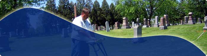
Gravesite locating and cemetery mapping is becoming more important with the cost of real estate getting higher. Compounded with an aging population creating higher demand for burial sites, many cemetery operators with limited space are faced with a growing challenge. Unless there is detailed documentation of burial site locations further development of the property could be limited.
Historical Burial Grounds rarely have documented cemetery mapping of gravesite locations. Even though buried remains and caskets have decomposed over long periods of time we are able to identify the location of the gravesites using Ground Penetrating Radar (GPR). This technology allows us to identify specific locations where the ground soil was previously disturbed and allows us to provide accurate cemetery mapping.
Burial Site Locating & Mapping grave site locations provides a permanent record. Once we have scanned the property or field technician can mark the locations on site or take the data from our computerized GPR equipment to our office and map the exact locations of the burial sites on your digital site plan for future reference in various CAD formats.
You can view a sample of a mapped site plan for a cemetery here (PDF file reduced to print on a standard printer).
There is no more need for costly and destructive digging to locate gravesites. Our non-invasive method using GPR is the ideal solution that will SAVE YOU TIME AND MONEY!